
Welcome the winter with NAVITEL®!
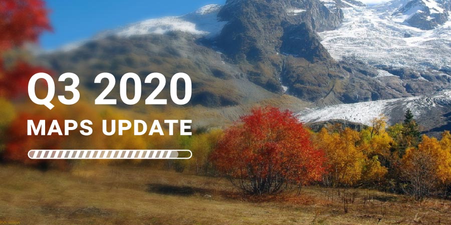
NAVITEL® has released a global update for all maps - release Q3 2020.
As a result of the large-scale work of the NAVITEL® Cartography Department and Geodesy Service, and to the comprehensive analysis of Navitel Navigator app user feedback, NAVITEL® releases a Q3 2020 map update.
The maps of the new release contain 22 742 007 km of the road graph, 14 638 189 POI objects, 2 018 730 cities and settlements, of which 405 943 with address search and street-road network. 382 032 533 unique addresses are available for search.
All the maps have been supplemented with the residential and industrial infrastructure of all the cities and settlements with the address search feature. Detailed and clear road networks include all streets, lanes, and roads considering traffic direction, road junctions, roundabouts, and other information vital for successful navigation. Also, for all maps of the Q3 2020 release, the data of speed control cameras, road restrictions, changes in the location of road marks, and signs have been updated.
Q3 2020 release maps include the most up-to-date detailed information that may come in handy for winter activities lovers! Detailed maps of popular winter resorts and places for an active holiday as well as an extensive POI database: hotels, hotels, restaurants, cafes and pubs, attractions, shops, gas stations, and service points, hospitals and pharmacies, and much more - will help travelers not get lost in any places and have a great winter rest!
Detailed information of the Q3 2020 release maps' updates is available at the following links:
- NAVITEL® releases Q3 2020 maps update for Europe
- NAVITEL® Q3 2020 map update: Argentina, Brazil, Colombia, Mexico, Peru, Maldives, Philippines
- NAVITEL® has released the Q3 2020 update for the maps of the Middle East, South Caucasus and Asia
You can find the detailed information on every map in the Maps section of the official website.
IMPORTANT! Please note that the maps of the Q3 2020 release work with Navitel Navigator version 9.13 and the next.